About Pinpoint Map
Pinpoint Map is a fully styleable map component for Framer. No API keys, no billing accounts, no setup: add coordinates and your map is live. Show one place or many.
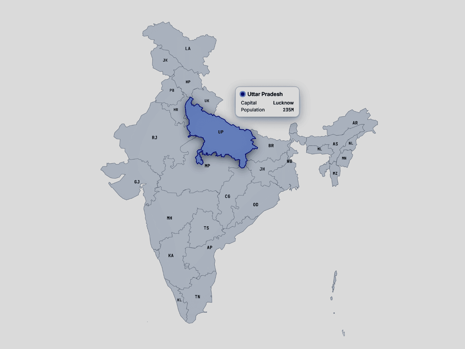
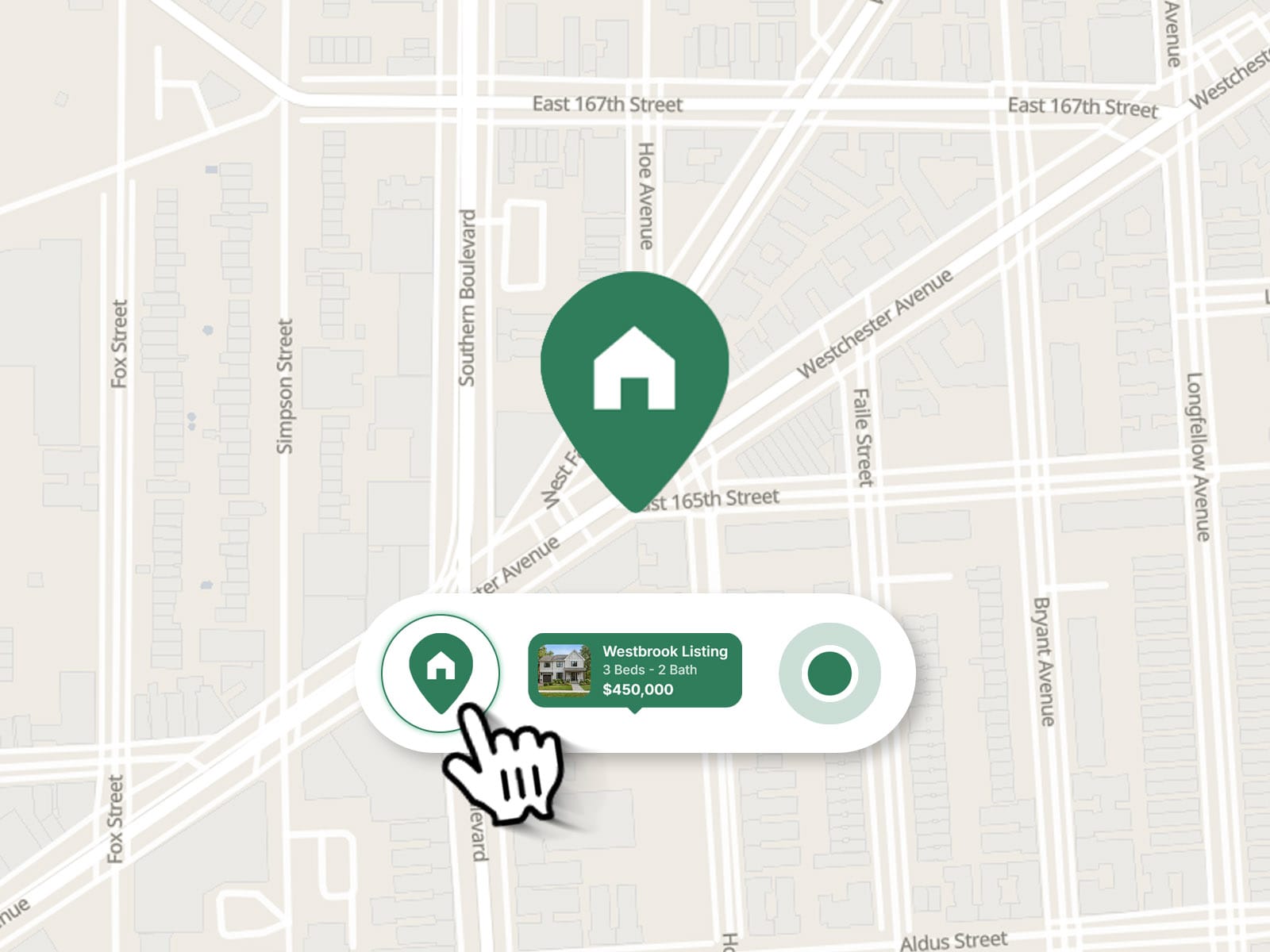
Match it to your brand with custom colors for land, water, parks, roads and labels, or pick one of three base styles. Use a pin, a pulsing dot, an info bubble, or a soft area circle.
What’s inside
No API key needed. Powered by MapLibre and free OpenFreeMap tiles.
Multiple points. List mode: add as many as you need by hand. CMS mode: up to 8 points with fields you can connect to your CMS.
Details for every pin. Image, title, description, highlight (price, rating, tag), up to three short details (like “3 bd · 2 ba”), a link and button text.
Custom pin colors. One global color, or a different one per pin.
Smart grouping. Nearby pins merge into a count badge, and units in the same building stack into one pin that expands into a list.
Auto-fit. With several points, the map frames them all.
Directions button. On single-point maps, opens Google Maps, Apple Maps, Waze or OpenStreetMap.
Scroll-friendly. Ctrl + scroll zoom keeps page scrolling smooth.
Custom UI. Font, colors, corner radius, shadow, zoom buttons and button position.
Perfect for real estate listings and search pages, stores, restaurants, events and travel guides.
Good to know
Map tiles and the map library load from public CDNs (OpenFreeMap and jsDelivr), so the map needs an internet connection.
Map credits (OpenFreeMap, OpenMapTiles, OpenStreetMap) stay visible, as required.
On the Framer canvas the map is static. Test interaction in Preview or on your published site.
Share your build
If you ship something cool with it, post it on X and tag me @danielgrafix_, or send it over. I’d love to see what you create.
Need help? Questions or feedback?
Reach me anytime: danielgrafix12@gmail.com or on X @danielgrafix_